 Crews
on the Parker Ridge Fire at the West Side of the
northern end of Boundary County continue to work
both day and night in their efforts to shore up
the north and south borders of the fire
perimeter. This is critical as these are areas
where homes, other structures, and private
property and timber are located.
Crews
on the Parker Ridge Fire at the West Side of the
northern end of Boundary County continue to work
both day and night in their efforts to shore up
the north and south borders of the fire
perimeter. This is critical as these are areas
where homes, other structures, and private
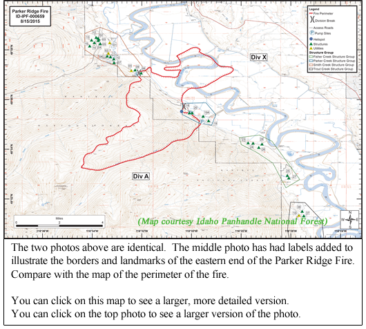
property and timber are located.The map accompanying this article, provided by the Idaho Panhandle National Forest, gives a great depiction of the location of the fire and its perimeter, and the locations of structures near the fire. (You can click on the map to view a larger, more legible and detailed view of the map).
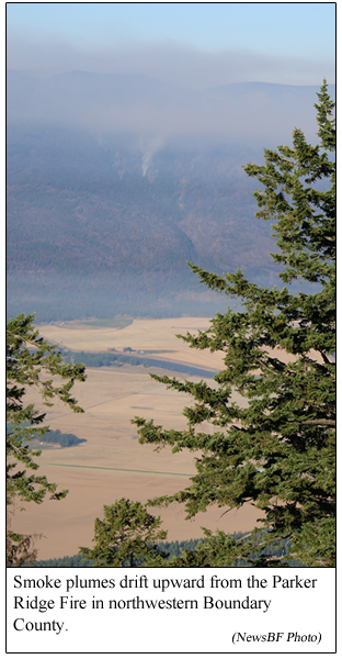
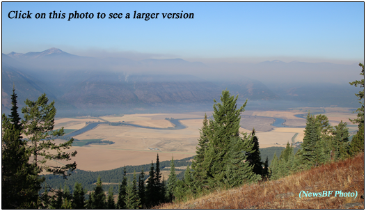
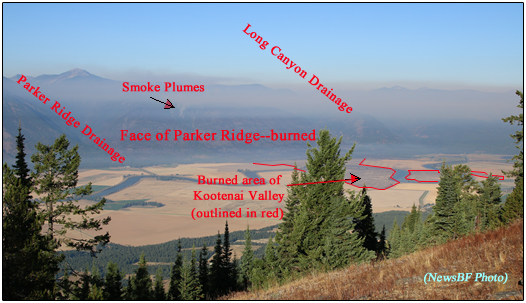
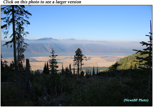
You can also click on a couple of the photos with this article to view larger versions of the photos.
Collective resources from private, state, county and federal agencies continue to coordinate efforts on fighting this fire.
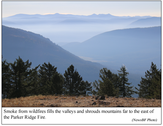
As part of the strategy to attack this fire, beginning this morning, crews, landowners, and farmers in the area started planned, controlled field burning of fields that had been harvested and left in stubble. It was planned to burn approximately 4,000 acres. It is hoped this will help limit the progression of the fire. These controlled burns have produced increased smoke in our area.
Currently, there are 117 personnel assigned to the Parker Ridge Fire. Its acreage is estimated at 6,139 acres, and containment remains at 0%.
Aircraft are still available for use in water drops on the fire.
Fire officials have arranged for an information board to be staffed and available at the Boundary County Fair, which begins today, to continue to provide the community with information on the fire.
As a reminder, the West Side Road continues to be open to local traffic only, as a significant number of hazard trees have fallen across the road.
- - - - - - - - - - - - - - - - - - -
- - - - - - - - - - - - - - - - - - -
